In today’s episode of Ona still doesn’t quite know how maps work…
A few days back, Andy and I visited the Kilmartin Museum, which displays neolithic and Bronze Age artifacts from the surrounding area. This area, called Kilmartin Glen, was a center of ancient human life and still contains many standing stones, cairns, and forts, many of which I’d seen on a previous walk.
After the museum, Andy drove us back across the Great Moss to drop me off so I could take a walk on a route I’d found in a little book of local walks. But it was raining. In fact it had been raining on and off for a few days. The wind the previous night was especially fierce, howling outside, whipping the waves in the harbor in every direction, and raising a ruckus of clanks from the boats.
We stopped at a crossroads and waited for the weather to get a bit better — and for me to gather the will to go out in it. Out over the sea, the blue sky was chasing the clouds away, so Andy drove me towards where the sun was shining and I grabbed my gear and set off.
I only listen to music while I walk for two reasons - the weather is really bad or I’m totally lacking in motivation. The weather was rapidly becoming better but I didn’t really want to be there, so out came the headphones and down the road I walked, with Victoria Monét’s “Good Bye” keeping me company.
I’d decided to test my way-finding skills and only use the map in my little walking book to orient myself. The Great Moss is quite flat and surrounded by a couple of easily identifiable landmarks, including the twin hills of the island of Jura. I’d also hiked around the area a couple of times by this point, so I figured this would be a good test of my abilities.
And boy was it. While the paths at the start of the walk were easy to see, the few signposts were completely unreadable. They’d become habitat for moss and liverwort — taken over by living organisms, their lettering consumed by fuzzy greens.
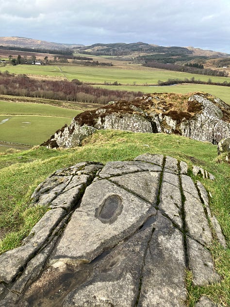
After tramping along a stone pathway, over a slightly rotting wooden bridge, along a river, through several fields of sheep, I finally made it to the star of the walk — Dunadd. It’s a rocky hill overlooking the Great Moss that was a fort for Gaelic kings 2,000 years ago. Dunadd is a great strategic location for a fort, with natural terraces and narrow rocky passageways and magnificent views across the moss and to the ocean. It was a bit of a difficult climb up to the top, but I was rewarded with seeing a famous footprint carved into stone, thought to be part of the inauguration ceremony for ancient kings. After declaring myself Bog Queen, I scrambled back down the hill.
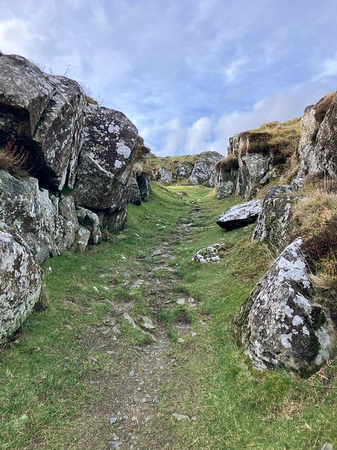
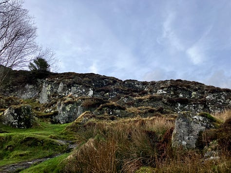
Continuing the walk did get a bit dicey. The book instructed me to cross a field and go over a rocky outcrop. But the rains plus animals plus farm equipment had turned the farm track over the rocky outcrop into a muddy mess. I squelched through the muck for a while, using my hiking poles to tentatively stab at piles of mud to see how stable they were and dipping them into puddles to judge the water depth. An occasional miscalculation had me deep in the mire, yanking my foot out, which created a slightly alarming sucking sound.
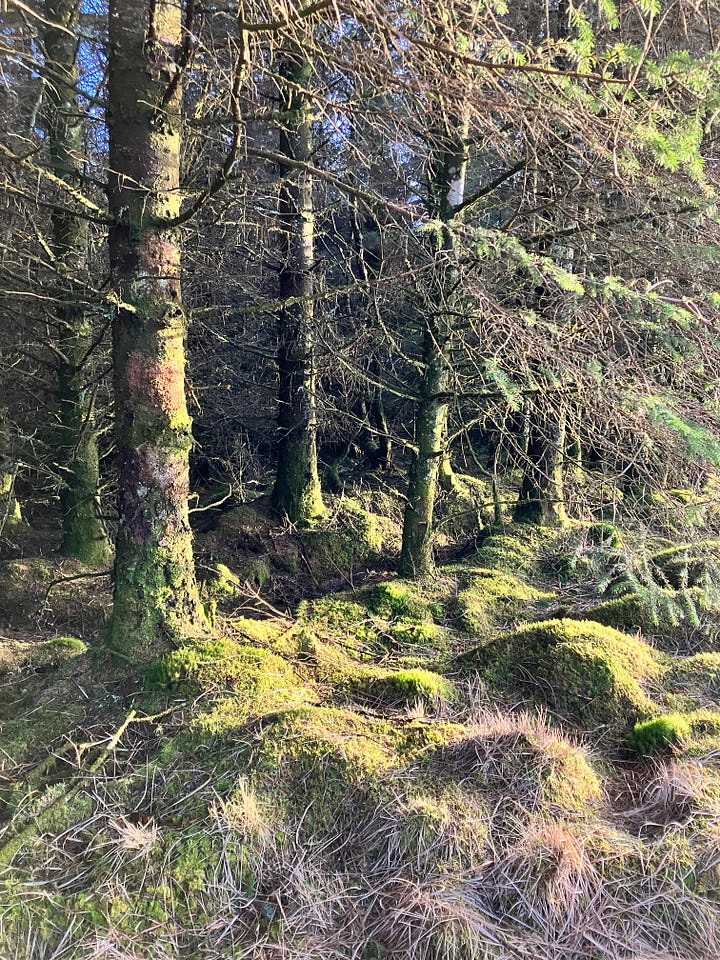
I finally made it through the mud, over a ditch, and to a path with a stone wall on the right and a forest on the left. The path started to wend its way through a magnificent old oak forest. Oak forests are magical, light-filled places. Of course part of that is because I’ve been hiking in the winter and there aren’t many leaves. But unlike tightly-packed pine forests, oak trees need a lot of room to grow; there’s lots of space in oak forests, which give other plants access to sunlight and make an amazing habitat for birds. Ancient oak also grow in funny directions, sometimes almost horizontally. This oak forest had mostly been left to grow wild, leaving a wonderful chaos that allowed dead oak trees to stay in place and literally sprout new life.
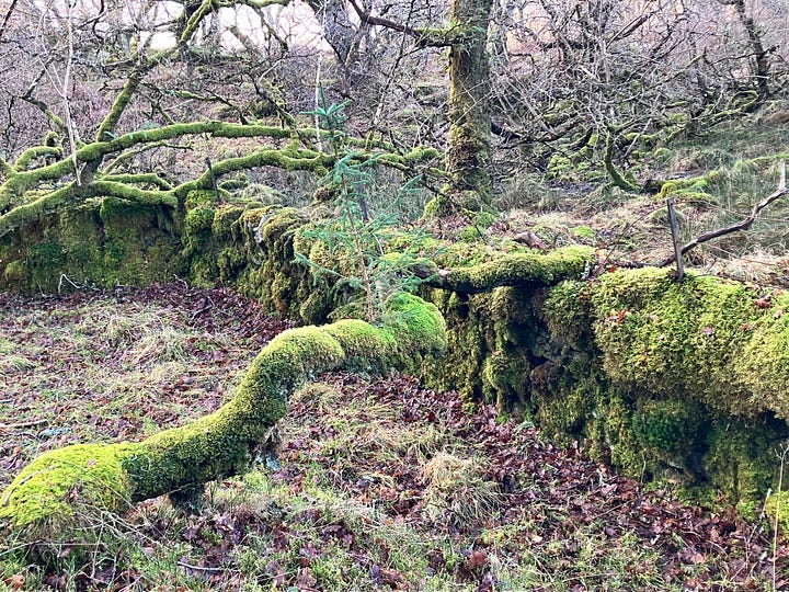
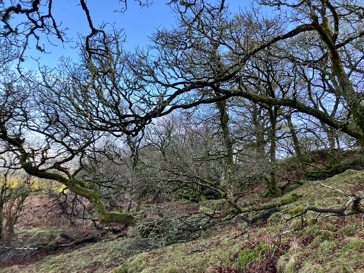
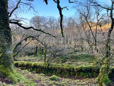
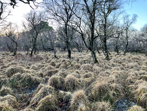
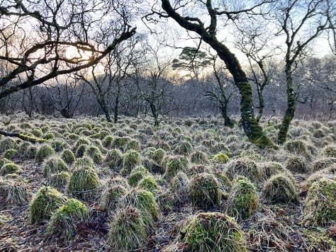
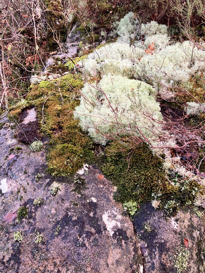
I came to think of this particular oak forest as a Muppet forest. The stone wall to my right soon became completely unrecognizable, looking instead like stacked Kermit torsos - bulbous, fuzzy, and green. I turned around a bend and laughed out loud at the sight of absurd mounds of plants that looked like Zeke, the banjo-playing Muppet.
As delightful as it was to tramp through this forest, I started to get a bit concerned about how long it was taking me. The book told me the path would follow along the wall and through an oak wood and then descend to join a forest road. This seemed such a short description, but I’d been walking for a while.
Here’s where my lesson for the day came in: just because a map is small doesn’t mean the area it depicts is small. I had failed to check the scale. And so what I thought was maybe a kilometer or so until the end of the walk was actually more like five kilometers. I had pulled out my phone by this point, thinking that something was really wrong, and then I realized my mistake.
On the bright side, I had followed the map in the book successfully and hadn’t gotten lost! A big win. On I went, through boggy areas that sometimes had stones or boardwalks but were often just muck. Some particularly wet parts of the trail had busted boards thrown across them; I had to balance carefully or risk spilling over into a few feet of standing water.
Finally, I saw the forest road, which popped me around a reserve for the Crinan Canal and finally onto the canal itself. The sun was setting, the birds were calling in the dusk, and I was practically running along the canal to meet Andy at the bridge where he picked me up.


Love the muppet forest and all the moss and lichen. Thanks for sharing. Keep on hiking Ona!
Muppets!!