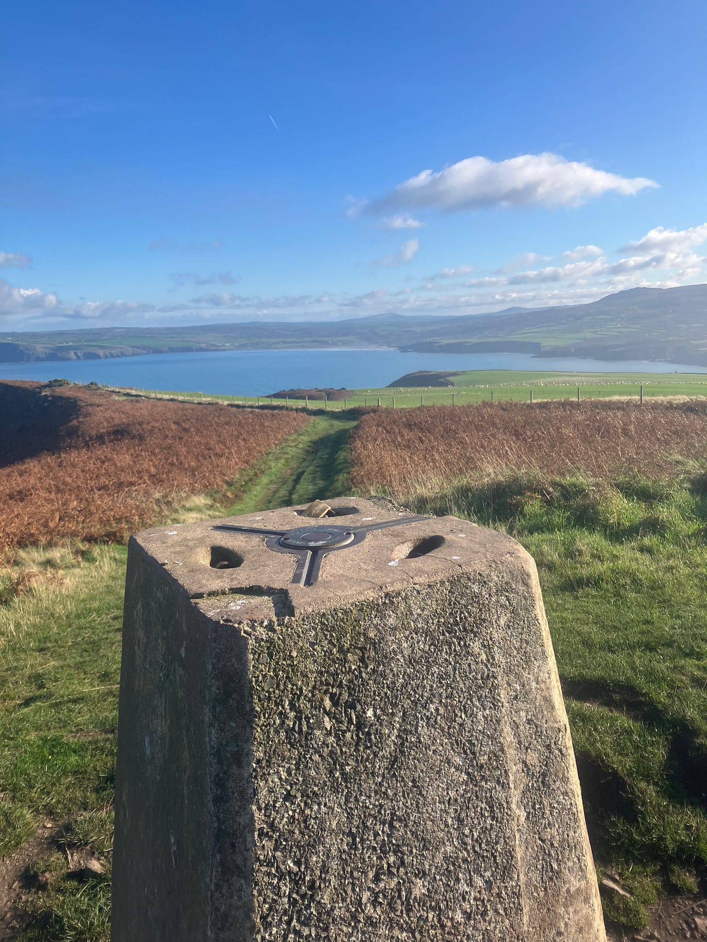
There are walking maps everywhere here. In bookstores, grocery stores, gas stations. In tourist hotspots and in tiny towns off the beaten path. And to my surprise, people use them. I’ve seen many a hiker with a map tucked in their backpack or clutched in their hand as we pass each other on a trail.
I’m not sure why I’m surprised - I grew up in the pre-google-map-age. My dad was a geography major and loved maps, but my mom was the one who actually knew how to use them. I was always bewildered by her ability when I was a kid - how could she translate where we were to a little line on a map? And know what direction we were headed in? Luckily for me, by the time I was learning how to drive, the hot new technology of printing directions from MapQuest had been invented. Otherwise who knows where I’d be now…
There are two important maps for ramblers in England and Wales — the Ordnance Survey Map and the Definitive Map.
The Ordnance Survey started as a military venture (the Board of Ordnance was the name for the defense department in the 1700s). The military needed accurate maps in order to properly prepare for a potential war with France. The coastlines were the first to be mapped. As time went on, the rest of England, Wales, Scotland, and Ireland were mapped. The OSM’s uses expanded beyond the military; it was used for building railroads, defining property lines for taxation, and more.
At the turn of the 20th Century, as rambling became an increasingly popular past time, the Ordnance Survey began producing maps with ramblers, bikers, and motorists in mind. While World War II brought the Ordnance Survey back to its military origins, the maps it produces have largely been civilian and commercial since then.
When I was digging through the Working Class Movement Library archives in Manchester, I came upon an editorial from the Ramblers from the 1920s declaring that all schoolchildren should learn how to read and use a map. Somebody listened; using the OSM and its unique grid reference system is now part of the UK’s national curriculum. No wonder there are so many paper maps everywhere — people actually know how to use them!

The Definitive Map is the map of all of the Rights of Way in England and Wales. It was created by the National Parks and Access to the Countryside Act of 1949 (you can read about how that came to be in my post about the Kinder Hill Trespass). Aspects of how the Definitive Map functions have changed over the years; today, anyone can petition to their local government to add a path to the Definitive Map if they have proof that it’s been used by the public (this is a vastly simplified description of the process, but you get the gist of it).
There’s a backlog of thousands of applications to add paths to the Definitive Map — a big problem because the process to add paths in England will end in 2031 unless the new government abolishes the deadline.
There’s growing debate among walking advocates as to whether its time to change course. Instead of fighting for incremental gains through the existing Rights of Way system, should they fight for the Right to Roam? A Right to Roam already exists in the UK - in Scotland - and in many other European countries. The Scottish Right to Roam means you have the right to walk, bike, horseback ride, kayak, or use any other non-motorized transport almost anywhere in the country, as long as you follow the Scottish Outdoor Access Code (which basically boils down to care for the land and don’t be a jerk).
I can understand why some advocates are reluctant to pivot to a Right to Roam. The Definitive Map is an important tool that obligates land owners to facilitate entry through their property, prevents (or at least complicates) development, and provides the public access to the land. These access gains were hard-fought; some are afraid that pushing for Right to Roam will put the existing rights in danger.
But the existing rights are limited in many ways. Only 7% of the land in England is accessible to the public. It’s complicated to administer the map, enforcement is difficult and under-funded. And most of this land used to be common land anyway - owned by everyone and nobody in particular. Activists have spent a century fighting for limited access to land that used to be accessible to everyone.
Winning a Right to Roam in England will be a difficult, uphill walk (so to speak). Landowners are incredibly powerful in England — 50% of the land is owned by less than 1% of the population. But walking is also becoming increasingly popular in this country; I’ve been astounded by how many fellow ramblers I’ve seen at all sorts of times in all sorts of weather. Perhaps people are now more willing to fight to roam free?


I continue to learn so much from you and your engaging stories. We (booklclub) are waiting for you to write a book!
Loving this stuff.